Private Road Journey · 9–10 Days
Western Sichuan Loop: Daocheng Yading & Kham Tibet
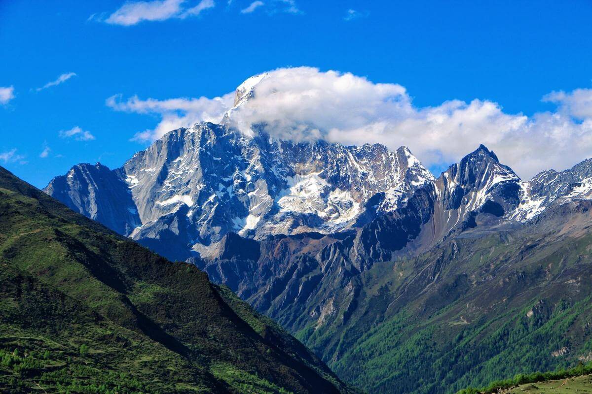
Follow a highland road journey from Mount Siguniang to Danba, Xinduqiao and Litang, then reach the sacred peaks and alpine lakes of Daocheng Yading. Built around photography stops, progressive altitude exposure and realistic driving days.
A highland road loop
From alpine valleys to the sacred mountains of Yading
This is a focused overland itinerary—not a general guide to every destination in western Sichuan. It links four core stages: Mount Siguniang, the Danba–Xinduqiao photography corridor, Litang and Daocheng Yading.
The recommended 10-day version gives you two Yading sightseeing days and a sensible return via Xinduqiao and Kangding. The 9-day option is a faster adaptation with less time for photography and tighter transfers; it should only be confirmed after checking road conditions, daylight and your group’s altitude response.
Recommended 10-day version
Day-by-day Western Sichuan loop
The 10-day schedule is the recommended format for this destination combination. Driving estimates are broad planning ranges and vary with traffic, weather, roadworks, stops and the exact hotel location.
Chengdu → Mount Siguniang (Rilong / Siguniangshan Town)
Leave Chengdu via the Wolong and Balang Mountain corridor. Break the journey for valley and mountain viewpoints when road and weather conditions allow. Keep the afternoon light after arrival rather than adding a strenuous hike.
- Scenic stops along the route, subject to access and conditions
- Check in around Siguniangshan Town (roughly 3,000–3,200 m)
- Hydrate, eat lightly and avoid intense exercise on arrival
Mount Siguniang · Shuangqiaogou Valley
Spend the day in Mount Siguniang, focusing on Shuangqiaogou, the most straightforward valley for a scenic road-and-shuttle visit. Use the park’s sightseeing transport and stop at viewpoints according to weather, visibility and crowd levels.
- Mountain reflections, forested slopes, streams and snow-peak viewpoints
- Start early for softer light and clearer mountain views where conditions permit
- Optional Changpinggou is a different, more walking-oriented valley and should not be added casually to the same day
Siguniangshan → Danba · Tibetan villages and watchtowers
Drive toward Danba and spend time around a traditional Tibetan village area such as Jiaju or Zhonglu, subject to local access and your preferred photography stops. The landscape shifts from high alpine valleys to river valleys, hillside settlements and historic stone watchtowers.
- Allow time for village lanes and viewpoints rather than rushing between multiple villages
- Sleep lower in Danba (around 1,800–2,000 m), an intentional recovery night
- Ask before photographing residents, homes or religious activity
Danba → Tagong → Xinduqiao
Continue through the Bamei and Tagong area toward Xinduqiao. If conditions and time allow, stop at Tagong Grassland and the monastery area before reaching the celebrated photography corridor around Xinduqiao.
- Open grassland views and distant snow peaks around Tagong
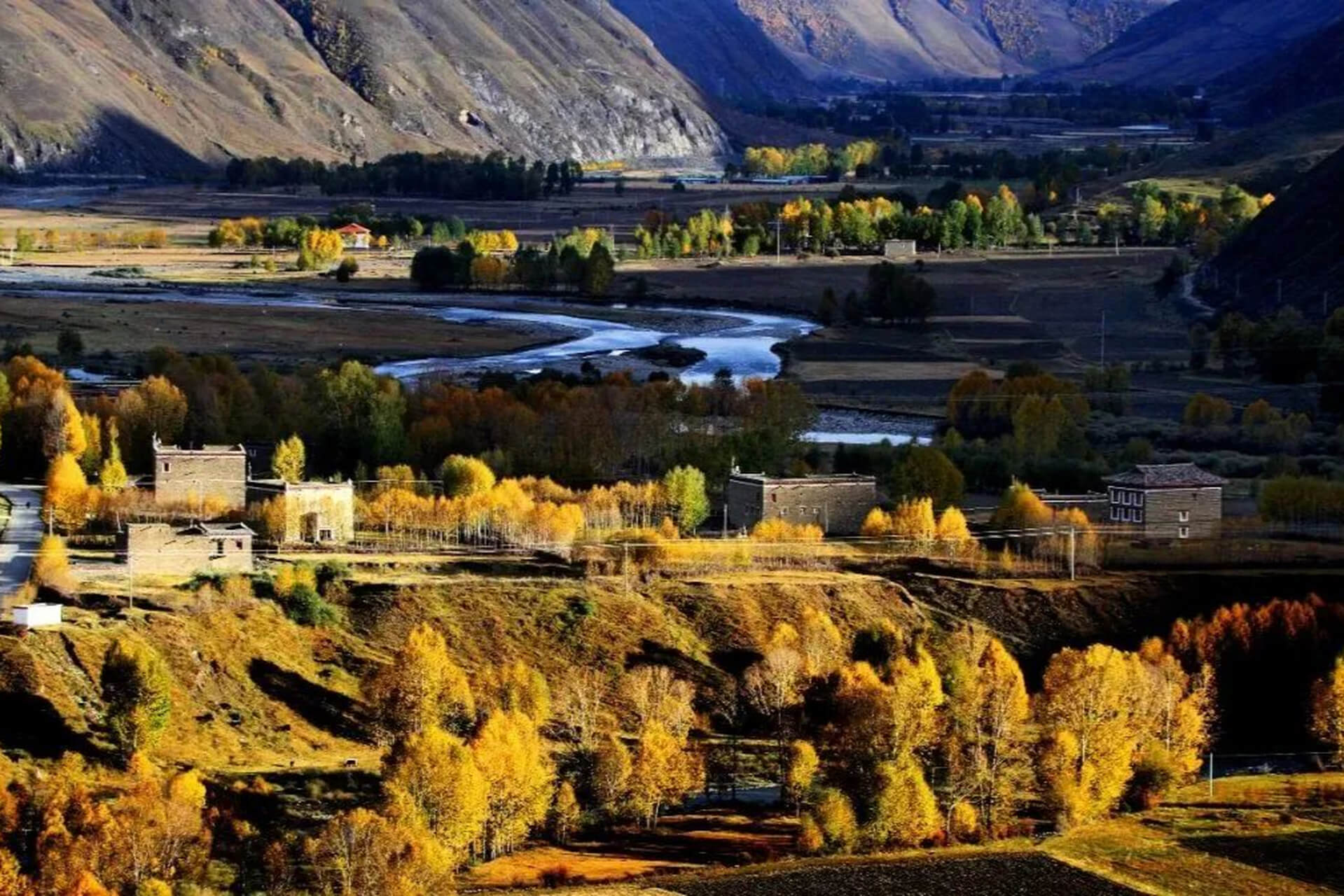
- Late-afternoon light across streams, poplar groves and traditional settlements near Xinduqiao
- Sleep around 3,300 m; take the evening slowly
Xinduqiao · Local photography loop and acclimatization
Keep a flexible day around Xinduqiao rather than packing in another long transfer. Work with your driver or local guide to choose accessible viewpoints based on cloud, wind and light. Sunrise and sunset are popular photography windows, but clear conditions are never guaranteed.
- Explore the G318-side countryside and nearby valley viewpoints
- Optional excursion toward a mountain-view platform only if road access and weather permit
- Use the extra time to rest before the higher-elevation Litang and Yading section
Xinduqiao → Litang · G318 highland landscapes
Follow the G318 corridor east and west through high mountain passes and broad plateau scenery toward Litang. The route offers dramatic ridgelines and grassland viewpoints, but the road day is long and reaches high elevations.
- Photo stops at safe, designated pull-offs only
- Pass elevations and road conditions vary by route and temporary controls
- Litang town is around 4,000 m; monitor symptoms and keep the evening restful
Litang → Daocheng / Shangri-La Town
Continue south through plateau scenery toward Daocheng and the Yading gateway. Depending on how you feel, stay in Daocheng or continue to Shangri-La Town (Riwa), which is lower than Daocheng and closer to the scenic-area entrance.
- Optional stop at Daocheng White Pagoda and selected viewpoints
- Keep the afternoon easy; avoid strenuous activity before the Yading hike
- Confirm the next day’s park shuttle, ticket and entry arrangements
Daocheng Yading · Long route and sacred lakes
Explore Daocheng Yading on the long route if weather, park operations and your physical condition allow. The route commonly includes the Chonggu area, Luorong Pasture and the high lakes known as Milk Lake and Five-Color Lake. The highest viewpoints approach 4,700 m.
- Start early and follow the official park transport sequence
- Allow a full day; walking time depends on fitness, weather and trail conditions
- Do not force the high-lake section if you develop altitude symptoms
Yading short route → Xinduqiao
If energy and park timing allow, take a shorter visit around Chonggu Monastery and Pearl Lake in the morning. Then begin the return north via Daocheng and Litang toward Xinduqiao. This is a substantial drive after a high-altitude visit; an overnight in Litang or Daocheng is safer if the group is tired.
- Keep the morning visit compact and leave enough daylight for the drive
- Do not attempt the long Yading route again today
- Flexible overnight: Xinduqiao is the target; stop earlier if necessary
Xinduqiao → Kangding → Chengdu
Return to Chengdu through the Kangding corridor. Add a stop only if traffic, weather and departure time leave a comfortable margin. For an early flight, an extra Chengdu night is strongly preferable to a same-day long-distance connection.
9-day alternative
How to compress the loop to 9 days
A 9-day version is possible only by reducing the flexible photography time and tightening the return leg. It is not the preferred option for travelers who want both Yading routes and unhurried photography.
Recommended 10-day plan
- Two nights around Mount Siguniang
- One night Danba and two nights Xinduqiao
- One night Litang, one night Yading gateway
- Two Yading sightseeing days
- Two-stage return via Xinduqiao and Chengdu
9-day compressed plan
- Keep Mount Siguniang to one full valley day
- Combine the Danba–Tagong–Xinduqiao corridor with fewer stops
- Use one Yading full day; choose either the long or short route based on fitness
- Return via Litang and Xinduqiao with an earlier departure
- Only confirm after a driver checks current road conditions and realistic daylight
The 9-day quote should specify which Yading route is included and where the overnight stops fall. Do not advertise two complete Yading routes plus every photography stop as guaranteed in the compressed schedule.
Altitude-aware planning
Altitude progression and photography stops
Build in lower sleeping nights
The itinerary uses a lower Danba overnight after Mount Siguniang, then moves to Xinduqiao and Litang. This helps avoid an unnecessarily abrupt sequence of sleeping at progressively higher elevations, but it does not eliminate altitude-illness risk.
At high altitude, ascend gradually where possible, avoid heavy exertion on arrival, stay hydrated and be prepared to descend if symptoms worsen. Severe headache, vomiting, confusion, difficulty walking or breathlessness at rest require urgent medical attention and descent.
Plan photography around light
- Mount Siguniang: early valley viewpoints and mountain reflections, when skies are clear.
- Danba: village terraces, watchtowers and valley panoramas; respect private homes.
- Tagong: grassland and monastery-area views, subject to access rules.
- Xinduqiao: streams, poplar groves and mountain backdrops around sunrise or sunset.
- Litang: open plateau scenery and broad grassland horizons.
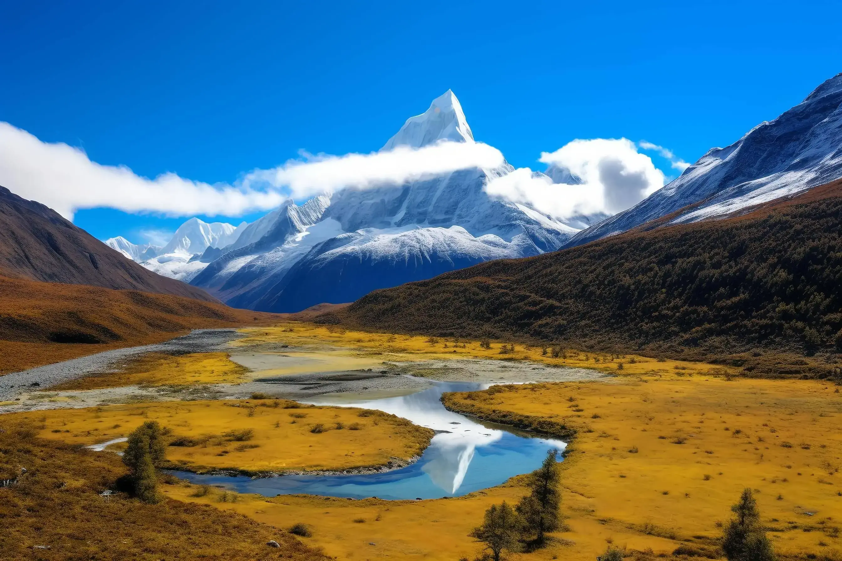
- Yading: sacred peaks and lakes; weather and visibility determine the best viewpoints.
Logistics
Driving, accommodation and seasonal flexibility
Private vehicle is the practical choice
This route connects mountain towns, rural viewpoints and scenic-area gateways where public transport may be infrequent or require multiple changes. A private vehicle with an experienced local driver gives the itinerary flexibility, but does not remove road, weather or altitude risks.
- Use a suitable vehicle for mountain roads and luggage.
- Confirm driver rest, daily driving limits and contingency stops.
- Carry snacks, water and warm layers between towns.
- Check fuel availability before remote stretches.
Suggested overnight sequence
- Day 1–2: Siguniangshan Town
- Day 3: Danba
- Day 4–5: Xinduqiao
- Day 6: Litang
- Day 7–8: Shangri-La Town / Yading gateway
- Day 9: Xinduqiao (or an earlier stop if needed)
- Day 10: Chengdu
| Stage | Approximate elevation context | Planning implication |
|---|---|---|
| Chengdu | About 500 m | Start low; rest after arrival |
| Siguniangshan Town | About 3,000–3,200 m | Take the first highland evening slowly |
| Danba | About 1,800–2,000 m | Lower overnight between highland stages |
| Xinduqiao | About 3,300 m | Rest and avoid strenuous activity on arrival |
| Litang | About 4,000 m | High sleeping altitude; monitor symptoms |
| Yading scenic area | High viewpoints approach 4,700 m | Strenuous hiking; choose route conservatively |
Elevations are approximate reference points, not medical thresholds or a guarantee of acclimatization. Actual sleeping altitude depends on the selected hotel and route.
Frequently asked questions
Western Sichuan Loop FAQs
Is 9 or 10 days better for this Western Sichuan loop?
Ten days is recommended if you want Mount Siguniang, Danba, Xinduqiao, Litang and two different Yading routes without compressing every transfer. Nine days requires fewer photography stops or a reduced Yading visit.
Does the route include Mount Siguniang and Daocheng Yading?
Yes. The recommended itinerary includes a full Shuangqiaogou day at Mount Siguniang and two days allocated to Yading, subject to park operations, weather and the traveler’s physical condition.
Is this a self-drive tour?
The page is designed as a private road trip with a local driver. Foreign visitors should not assume that an overseas driving licence or International Driving Permit alone authorizes them to drive in mainland China. Confirm current legal requirements before considering self-drive arrangements.
How high does the itinerary go?
Litang is around 4,000 metres, and the higher Yading viewpoints approach 4,700 metres. The route includes high passes and high-altitude walking, so it is not suitable for everyone.
Can I skip the long Yading hike?
Yes. The itinerary can focus on the shorter Chonggu Monastery and Pearl Lake route, or adjust the hiking day according to fitness, weather and altitude response.